Designs
For further inquiry into the design process or to request a portfolio of previous work, please visit the contact page and let us know how we can help.
Currently, Ohikos Network is providing sustainable designs and consulting for landscapes that are not only productive but also visually appealing. Our work is guided by the principles and philosophy of Permaculture, which is a systems design methodology for creating sustainable habitats that mimic the complexity found in natural ecosystems. At the core of Permaculture is the idea that we ought to work with nature, rather than against nature, thus benefiting people, and the ecosystem in which they are situated. To learn more about the Ohikos Network philosophy, please visit the “About” page.
This is where the Ohikos Design Network is coming from, but how do we get there? In regards to the actual process, here are some of the steps that we take and the tools that we use.
Stay tuned for an updated portfolio of past work, or feel free to make a request through the contact page.

Goals Assessment: Please refer to the following Client Questionnaire & Goals Assessment Form and fill out basic details regarding yourself, your desired projects, and your goals. For further consultations and design, send the filled out Goals Assessment Form to info@ohikos.net and let us know where we can help.
![]()
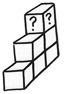
Site Assessment & Analysis: One of the earliest stages in the design process is observation of the site in order to acquire as much information as possible that will help in the actual design phase. Here we are looking at what we have to work with prior to imposing our own dreams on the landscape, and we are also taking note of various opportunities or challenges that may be present.
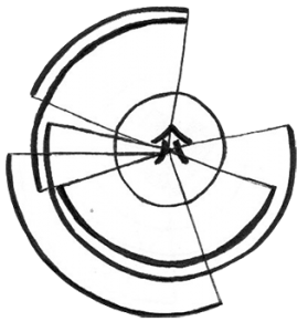
 Sector Mapping: A design tool for identifying the “wild energies” that affect your site but can be managed to create a more appealing environment and a more effective system. The sector analysis process should take note of attractive or unattractive features and the location or path of their influence on the site. The sector analysis will include summer and winter sun patterns, wind strength and direction, water flow, wild-life pressure, and notable smells, views, and noise. It may also include the direction of potential external threats from flooding, fire, strong winds, landslide, wild-life, or even human influences (ex. industry by-product), and significant external landmarks (ex. large lake or river).
![]()
Zone Mapping: A design tool for identifying the energy intensity of pathways or areas/zones, and guiding the proper placement of design elements in relation to their frequency of use and their required servicing.

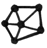
Functional Analysis: A process of identifying an element’s needs & inputs, products & outputs, & behaviours. This helps realize the benefits of an element, and guide effective placement of each element to best compliment each other.

